Auden's Col and Mayali Pass Trekking Expedition
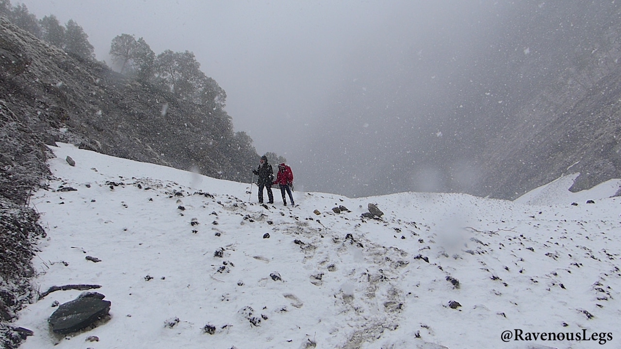
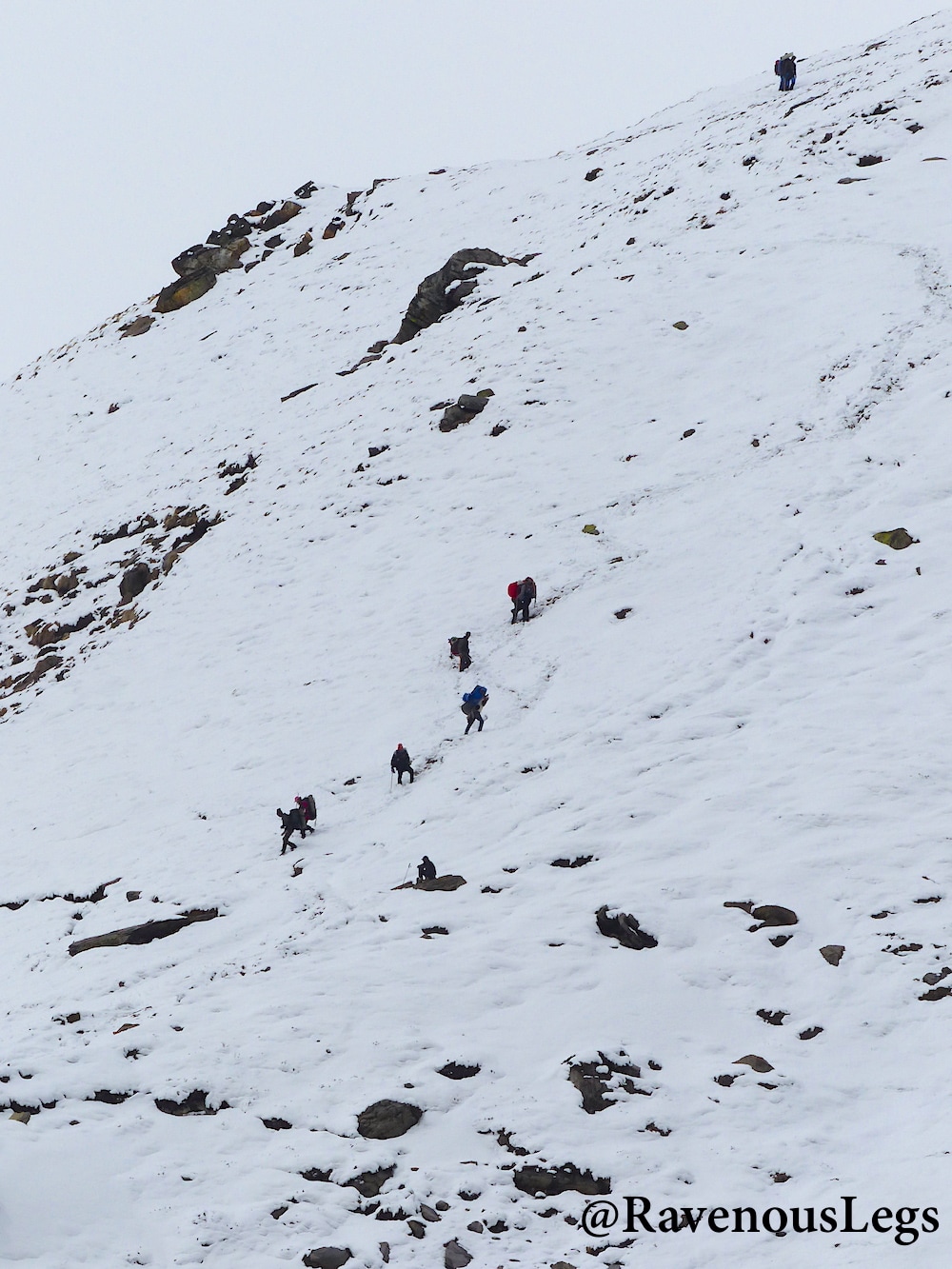
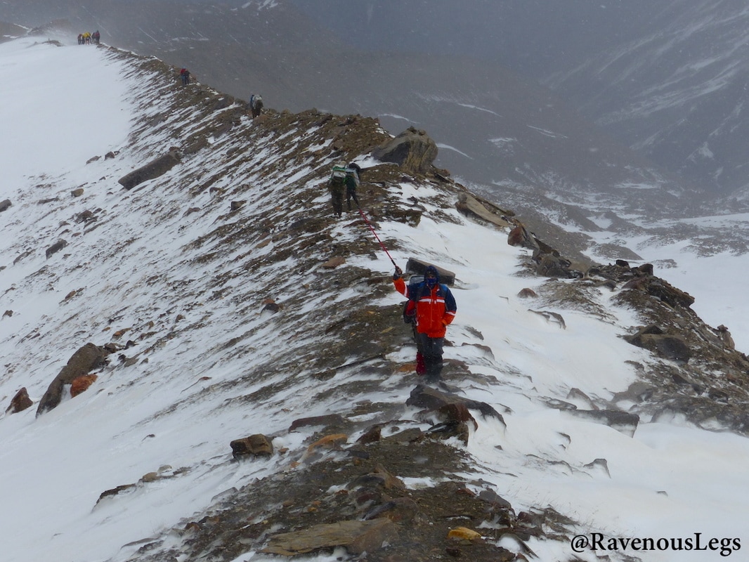
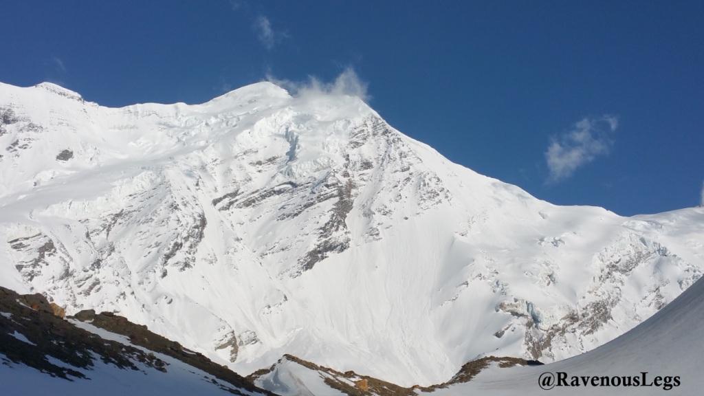
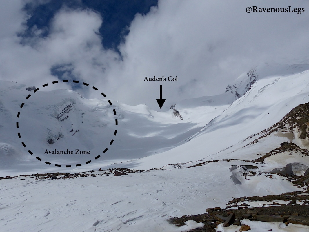
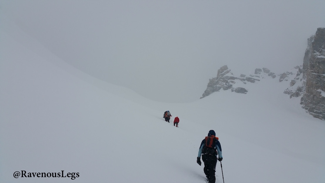
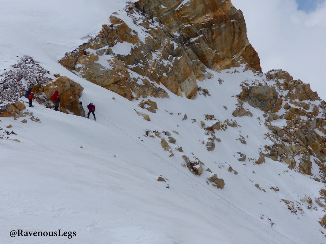
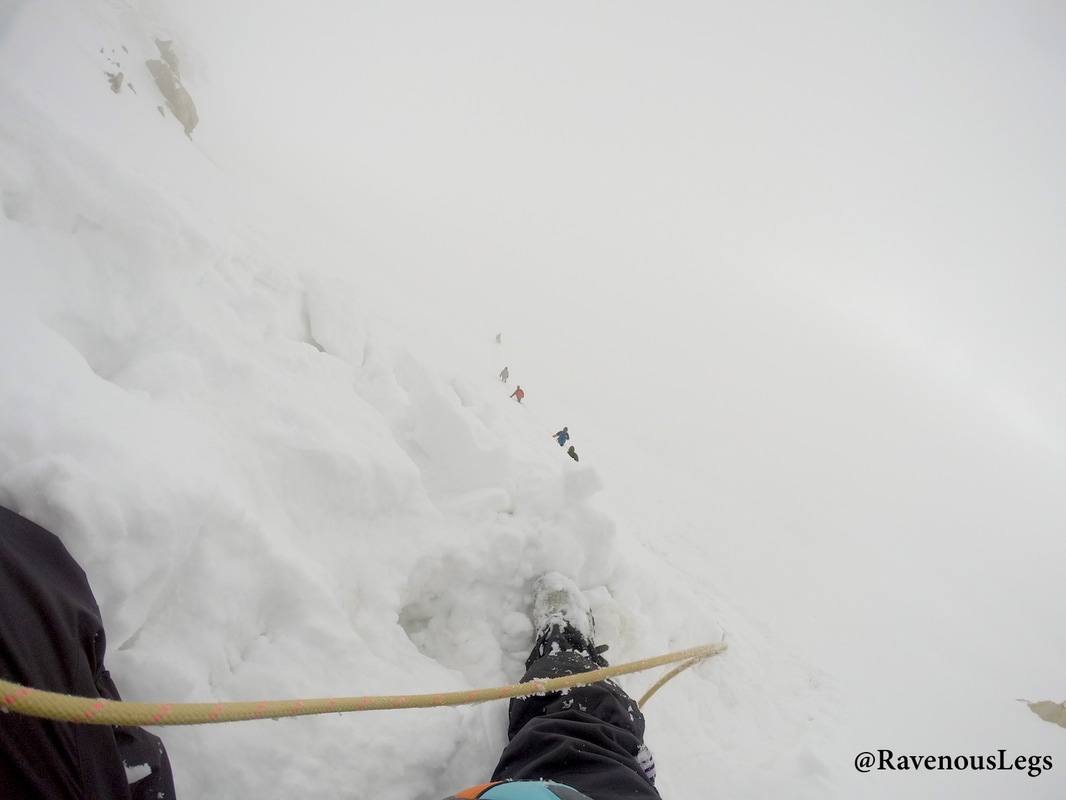
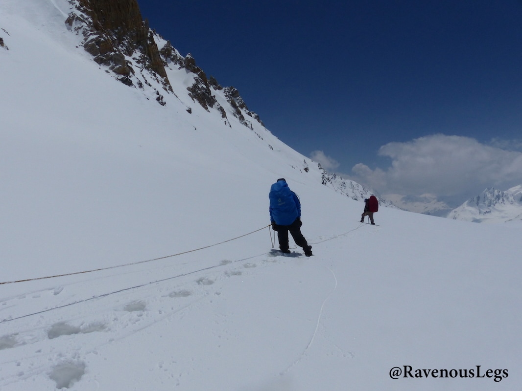
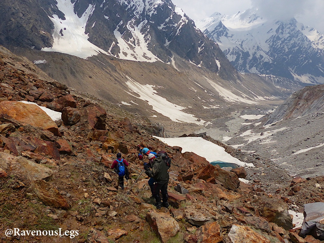
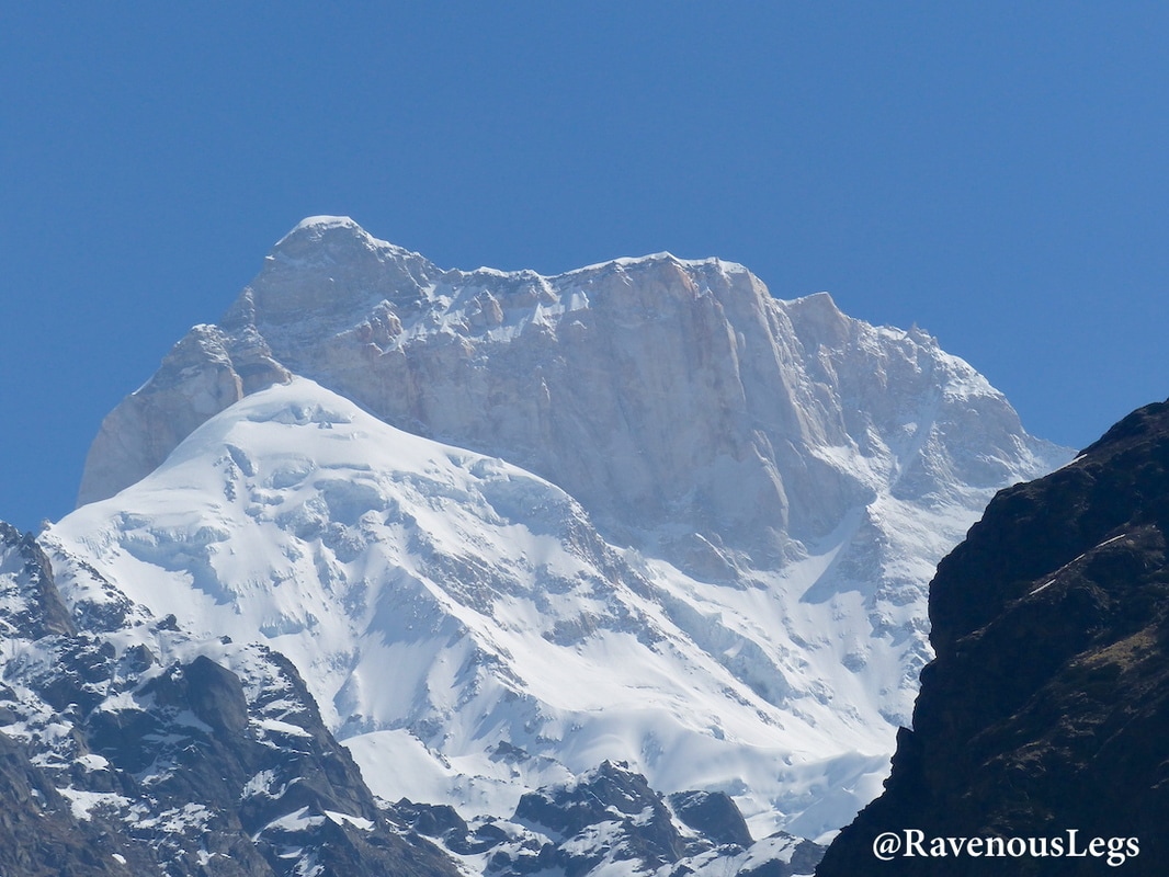
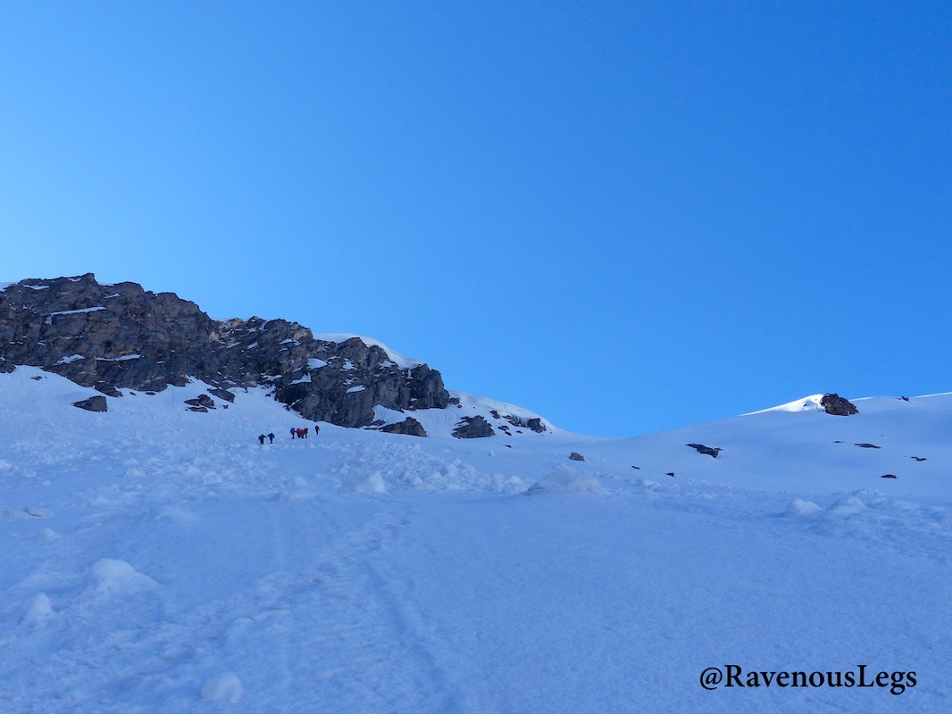
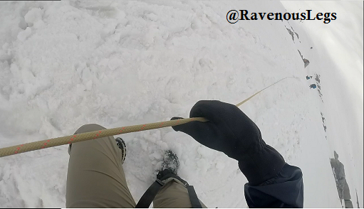
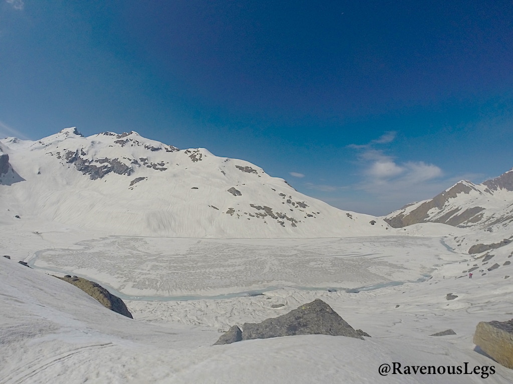
Auden’s Col Trek in the Garhwal Himalayas of Uttarakhand is a difficult and challenging trek. It is a lesser frequented pass elevated at 5490m (18012 ft), and infamous as the most dangerous pass in the Garhwal Himalayas. The pass and the Khatling glacier are heavily infested with crevasses (deep open cracks in the glaciers) on the entire route. A very experienced guide is highly recommended to avoid falls in these crevasses, which otherwise could lead to futile search operations. The pass is named after John Bicknell Auden of the Geological Survey of India, who first discovered it in 1935 and crossed it in 1939. This pass was then explored only after late eighties.
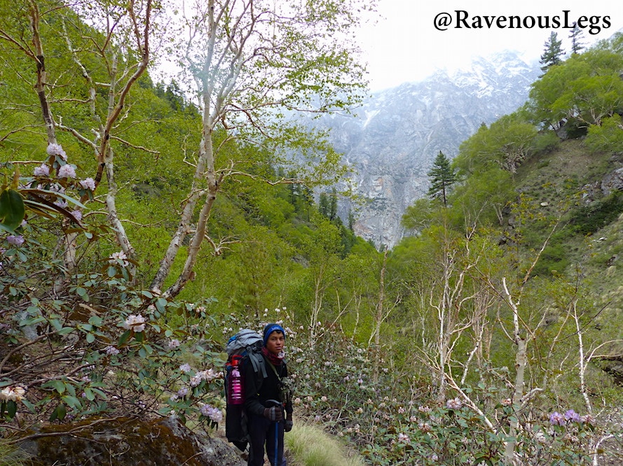
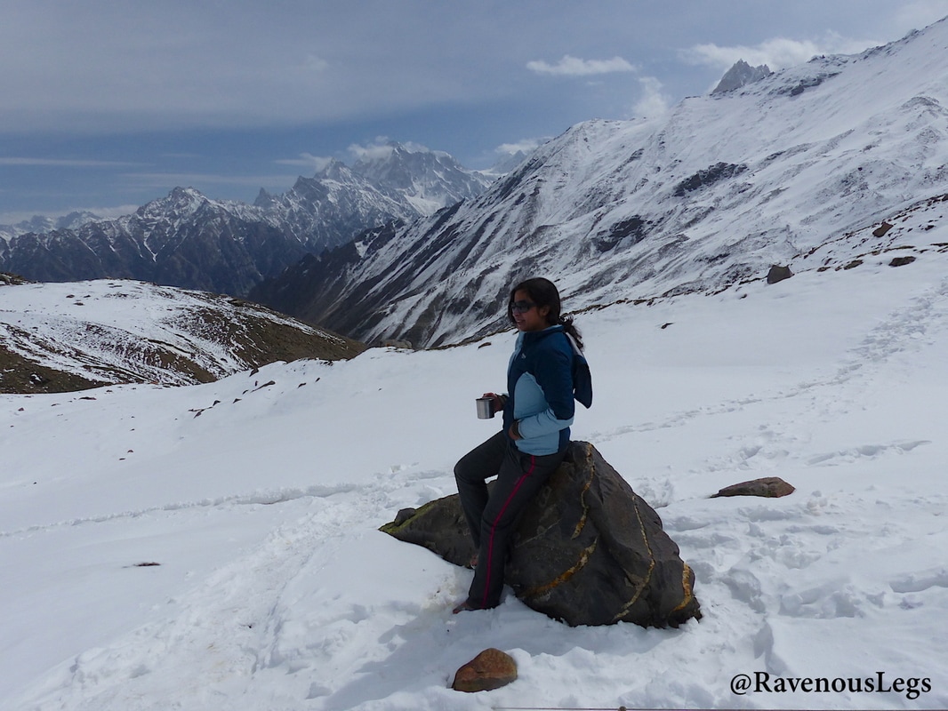
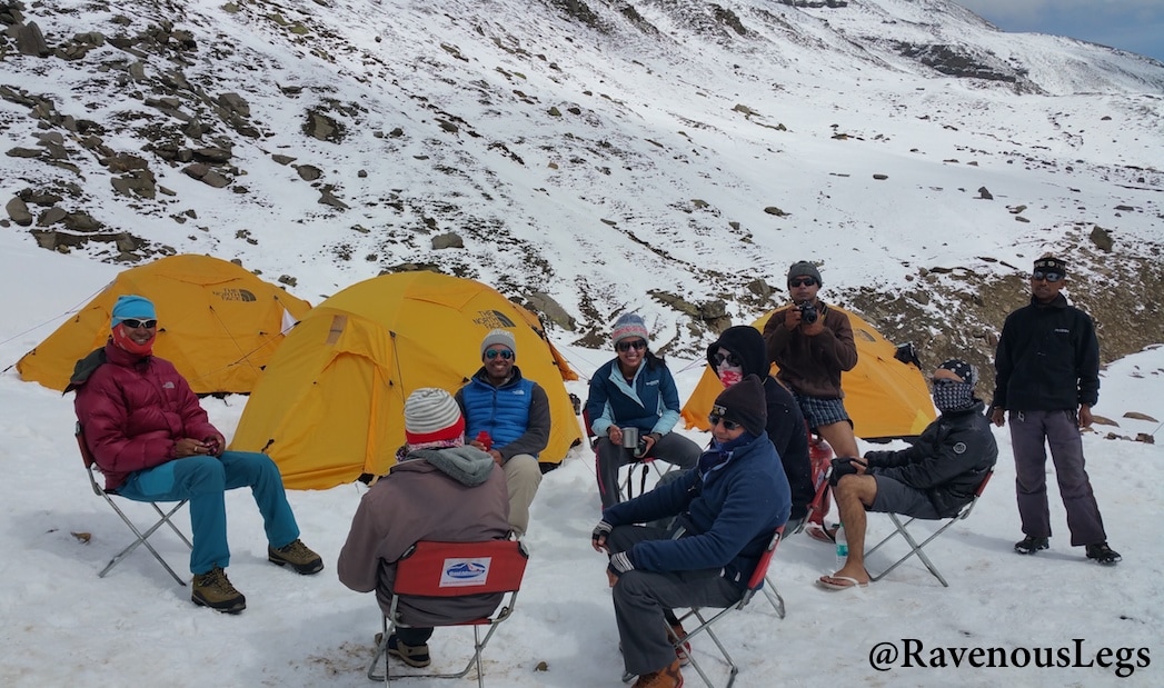
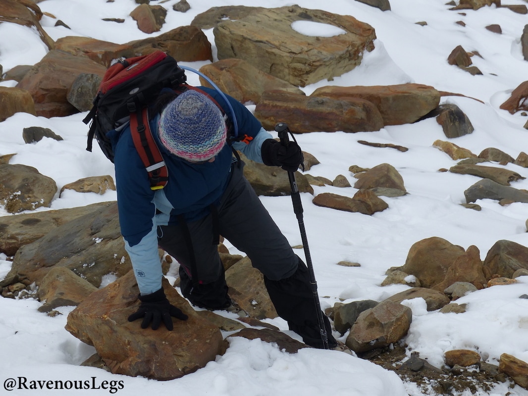
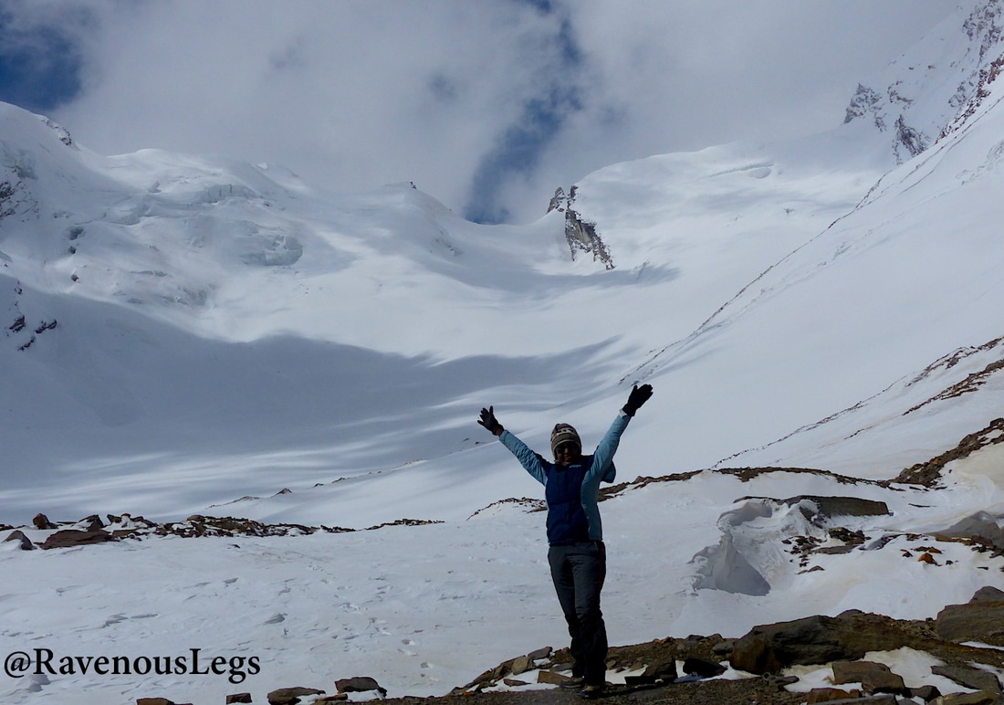
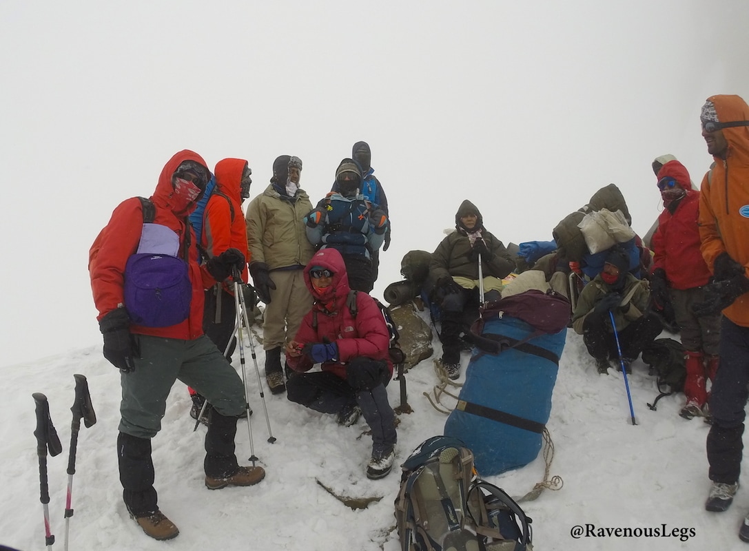
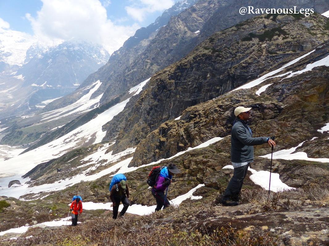
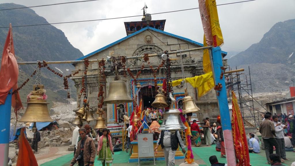
When I had read about this pass years back, never in my dreams had I thought that I’ll get a chance to ascend it. Our beloved trekker friend (a doctor) got obsessed with this trek and managed to convince “Team7” just a month before the plan. Adding to the difficulties, we included Mayali pass too in the same plan. Difficulty level: Demanding Route: Gangotri - Nala Camp - Rudragaira BC - Gangotri BC - Auden's Col BC - Auden's Col - Khatling Glacier - Waterfall Camp/Zero Point - Chowki - Masar Tal - Mayali Pass - Vasuki Tal - Kedarnath - Gaurikund Total distance covered: 115 km Passes crossed: Auden's Col (5490m/18010 ft), Mayali Pass (5000m/16400 ft) No. of trekking days: Planned - 12 days, Actual - 11 days. Dates we trekked on: 1st Jun 2015 - 11th Jun 2015 Best time to do Auden's Col trek: June and September Prior Trekking Experience: Strongly recommended. There are crevasses, technical descends, and high altitudes to deal with. This trek should not be attempted by beginners. I would recommend prior experience of trekking to 5000-5500m before attempting Auden's Col. Physical Preparation: Very good stamina and endurance is required for this trek. One needs to walk long distances almost everyday. This trek starts from a temple and ends at another, ticking off 2 temples of the Chardham. I didn’t know until I was there that I was on a religious trip!! (which I would have avoided in all cases, if not for a trek). The roadtrip to the base started from Rishikesh. After crossing beautiful valleys of Uttarkashi, Bhaironghati and Harsil Valley, we arrived to our base Gangotri. 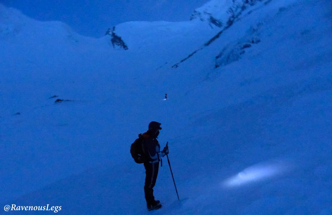
Auden's Col and Mayali Pass Expedition
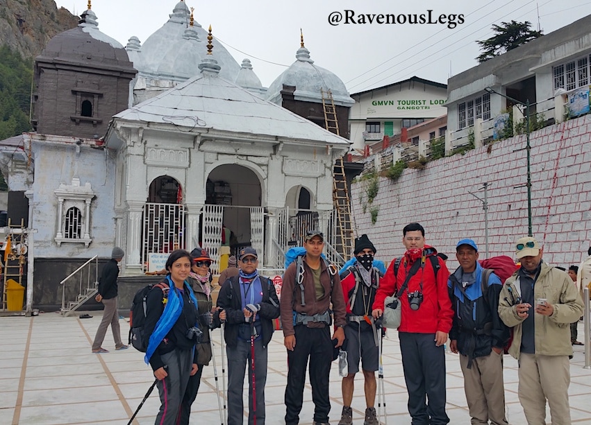
This trek starts from a temple and ends at another, ticking off 2 temples of the Chardham. I didn’t know until I was there that I was on a religious trip!! (which I would have avoided in all cases, if not for a trek). The roadtrip to the base started from Rishikesh. After crossing beautiful valleys of Uttarkashi, Bhaironghati and Harsil Valley, we arrived to our base Gangotri. 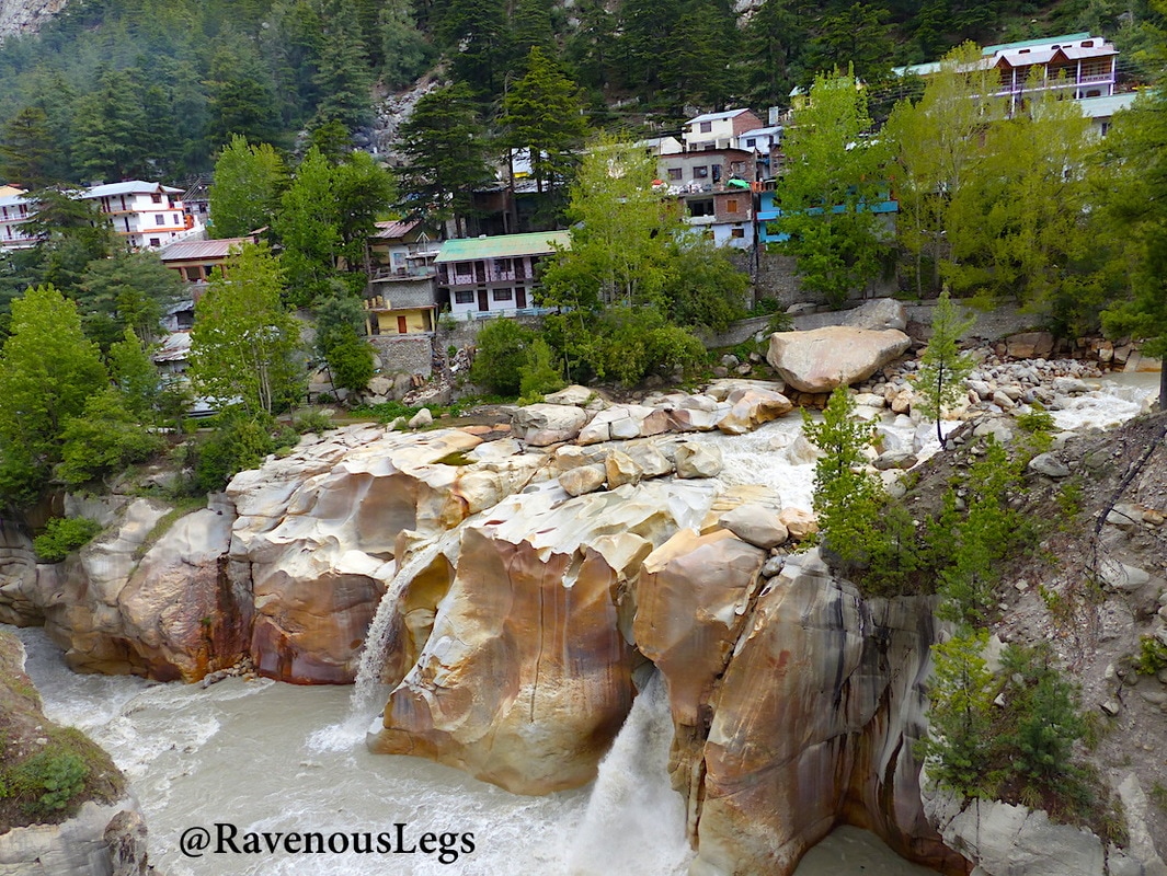
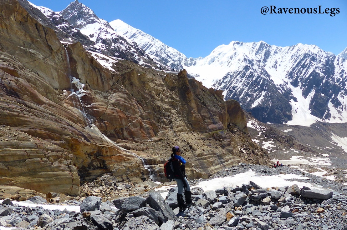
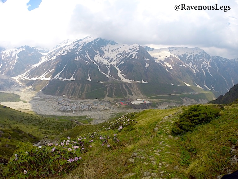
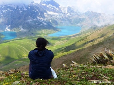
Gangotri - base for Auden's Col trek
|
Author
Namaste! I'm Medhavi Davda.
I travel to Evolve.. In Nature, I confide.. I find my calling in the Himalayas.. In the Oceans, I meditate.. A High-Altitude Trekker & PADI certified SCUBA Diver, I love exploring the heights and depths of the planet with my regular doses of mountains and oceans. Discovering myself & life through nature, adventures, travels, sports and dance has been an addiction since my existence! Quite fond of the natural & cultural diversity of India, I've travelled extensively in my own country before exploring international destinations. I had left my 9+ yrs of career in Software Industry in a quest to make a living out of my passions. I packed my basics in my car (gave away the rest) and lived in different parts of Himachal Pradesh for 16 months. This invaluable time taught me to experience life from a broader perspective. I'm currently living in Mumbai to work with an Adventure Travel company as a product manager for Scuba Diving. I continue living a minimalistic life. RavenousLegs on InstagramRavenousLegs on FaceBookRavenousLegs on TwitterRecent PostsAbu Dhabi's Renowned Liwa Date Festival
Day trips you can take from Paracas Is 7 Days in Bangkok Too Long? Top Cities in Croatia That You Cannot Miss 5 Tips for Creating Engaging Solo Travel Videos for YouTube 7 Days Active Travel Itinerary for Sri Lanka - from Sunrise on the East Coast to Sunset on the West Coast Annapurna Base Camp Trek from Ghandruk Village - the shortest route to ABC Trek |